Online Only Promotion - 5% off any services if you book through our website


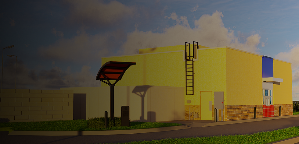
LiDAR Scanning: Digital Deliverables & Virtual Access in Dallas-Fort Worth
Point Cloud Data and Virtual Access in Formats Your Team Can Use
HosScans delivers LiDAR point cloud data and virtual site access for Dallas-Fort Worth properties in industry-standard formats — RCP, E57, LAS, PLY, and DWG — ready for BIM integration, with complimentary remote access to every scanned space.
5 Formats .RCP, .E57, .LAS, .PLY, .CAD
Included Virtual Site Access
BIM-Ready Immediate Integration

What Are Digital Deliverables?
The Data Behind Your Documentation
Digital deliverables are the point cloud files, 3D data, virtual access environments, and supporting assets we produce from LiDAR (Light Detection and Ranging) scanning.
Digital deliverables are for multiple use cases, from integrating into BIM workflows and performing clash detection to simply sharing site conditions with remote stakeholders. They're designed to put verified reality data in your hands.
.png)
Point Cloud Files
High-density 3D data capturing every visible surface across the entire facility, delivered in formats compatible with your existing software.
.png)
Virtual Site Access
Walk through your scanned space from anywhere using NavVis IVION, with no software installation required.
.png)
BIM Integration
Files formatted for direct import into Revit, AutoCAD, Rhino, and other industry-standard platforms.
What Makes Our Digital Deliverables Unique?
While our As-Built Documentation and DIM Plans services focus on drawings and reports, digital deliverables give you direct access to the raw spatial data. The idea is that your team has an easy way to measure, model, analyze, and collaborate in ways that aren't supported by 2D drawings alone.

What's Included In Our Digital Deliverables?
We scope every one of our digital deliverables packages to your project needs. Here's what we typically provide:
-
Registered and cleaned data
-
Colorized point cloud (RGB from panoramic imagery)
-
Coordinate system based on your requirements
-
Ready for measurement and analysis
Formats available: .RCP, .E57, .LAS, .PLY
This is the foundation of all our work, offering a unified, accurate 3D point cloud that's created from multiple scan positions. Point cloud data captures millions of accurate measurement points representing existing conditions in the physical world with ±5mm accuracy.
Registered Point Cloud


.png)

File Formats for Every Workflow
We'll deliver your point cloud data in industry-standard formats compatible with the software your team already uses. We're not here to make your job harder than it needs to be with proprietary formats or conversions! We'll cater to whatever works for you.
Don't see your format? Get in touch, as we can likely accommodate your specific software requirements.

Walk Through Your Building From Anywhere With Virtual Site Access
Every digital deliverables project we work on includes complimentary access to NavVis IVION. This browser-based platform transforms your point cloud and panoramic data into an explorable virtual environment.
There's no software to install, and no special hardware required. We've made things as simple as possible: just open a link and start exploring.

360° Walkthroughs
Receive immersive 360 degree panoramas of your building or asset to create Zillow like virtual tours for viewing and records.

Point-to-Point Measurement
NavVis IVION also allows you to take measurements directly in the virtual environment. You can easily measure distances, heights, and areas without having to return to the physical site.

Annotations & Markups
No need to open a separate notes app! You can add notes and observations directly to specific locations, then share these annotated views with your team members.
%201.png)
Shareable Links
Our virtual site access even lets you link to locations in the scan. So, if you need to send a colleague directly to the spot you're discussing, you can, with no account required.
%201.png)
Multi-Device Access
NavVis IVION is accessible from a desktop, tablet, or mobile device. That way, you can review site conditions from your office, meeting space, home, or anywhere with an internet connection.
Who Our Digital Deliverables Are For
Digital deliverables serve different purposes, depending on where you are in your project lifecycle and what tools your team uses. They're ideal for commercial buildings, retail spaces, warehouses, offices, and mixed-use facilities.
.png)
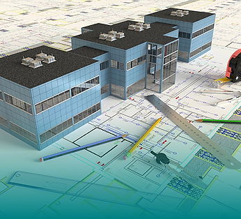
Bim Modeling & Integration
If you're a design and/or construction team, you can use point cloud data as the foundation for BIM models. It's easy to import directly into Revit or link through Navisworks for clash detection and construction coordination.
-
Scan-to-BIM modeling
-
Existing conditions verification
-
Clash detection workflows
-
Design coordination
.png)
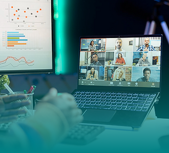
Remote Collaboration
For distributed teams, virtual access makes a lot of sense for reviewing site conditions without the need for travel. If you've got architects in one city, engineers in another, and project stakeholders elsewhere, everyone can explore the same scanned space.
-
Multi-office project teams
-
Client presentations
-
Consultant coordination
-
Remote decision-making

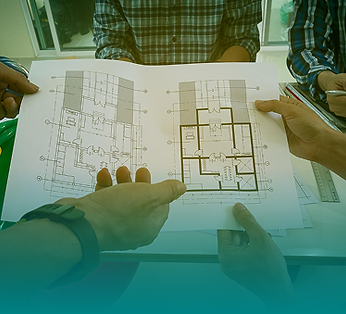
Measurement & Analysis
Does your team need specific measurements without full drawing production? In this scenario, you'll benefit from using point cloud data directly for everything from extracting dimensions to calculating areas and verifying conditions as needed.
-
On-demand detailed measurements
-
Quantity takeoffs
-
Clearance verification
-
Space, deviation, & deformation analysis
Documentation & Archival
For property owners and facility managers, digital deliverables can be helpful when they're used as permanent records of existing conditions. Point clouds act as a complete digital record of existing conditions at a specific point in time.
-
Baseline documentation
-
Condition assessment records
-
Historical preservation archives
-
Insurance documentation
Construction Verification
Finally, if you're a contractor, you'll appreciate being able to use cloud data points to verify as-built conditions against design intent. It makes it easy to compare the finished product (i.e., what was built) to whatever was specified.
-
Progress documentation
-
Data quality control verification
-
As-built record creation
-
Prefabrication validation


Captured with Professional-Grade Technology
Our digital deliverables are produced using professional 3D laser scanning equipment and and advanced LiDAR data processing. We generate high-density LiDAR data points trusted by surveyors, architects, project managers, construction teams, commercial real estate firms, and engineers worldwide.

±5mm
Survey-Grade Accuracy
NavVis MLX
Slam Scanning
NavVis MLX is a mobile LiDAR mapping system that captures point cloud and panoramic imagery simultaneously. It's ideal for large real-world spaces that need efficient coverage.
Leica BLK360
Static Scanning
Leica BLK360 is a precision terrestrial scanner that's particularly helpful for detail-critical areas. When you need millimeter-level accuracy, this is the equipment to choose.
NavVis IVION
Virtual Access/Processing Platform
As a cloud platform for hosting, viewing, and sharing scan data, NavVis IVION provides the virtual access environment that's included with all our projects.
Cyclone Register 360
Leica Processing Platform
Cyclone Register 360 is industry-standard software that's primarily used for point cloud registration and alignment, as well as quality verification.

Flexible Packages For Your Needs
We're here to offer exactly what you need nothing more, nothing less. You can buy digital deliverables as part of our comprehensive As-Built Documentation service or as a standalone package when you need data without drawings.
Here's a more detailed breakdown of our two package options:
Complete Package
As Part of As-Built Documentation:
If you buy digital deliverables as part of our as-built documentation, you'll get cloud data points and virtual access included alongside DIM Plans, MEP documentation, and square footage verification. This is the best package option when you need both drawings and data.
Data Only
Standalone Digital Deliverables
If you purchase standalone digital deliverables, you'll receive point cloud data and virtual access without drawing production. This is ideal when your team is planning to create their own drawings or when you only need measurement and visualization capabilities.
How Our Pricing Is Determined
Here are some of the key factors that affect pricing:
Building size (square footage)
Number of floors
File formats required
Coordinate system requirements
Coordinate system requirements
Frequently Asked Questions
Why Teams Choose HosScans For Digital Deliverables
5 formats for any workflow: .RCP, .E57, .LAS, .PLY, .CAD
Virtual tours included, with complimentary IVION hosting
±5mm accuracy, offering survey-grade precision
Proven experience, with 5M+ sqft scanned
100% satisfaction guarantee entitling you to revisions at no extra fee
Ready for immediate integration with Revit, AutoCAD, Navisworks
.png)

.png)
