

What We Found When We Scanned a Building That Already Had Existing Plans
- Tyler Hoskins
- Jan 24
- 1 min read
Updated: Apr 10
When I started HosScans, I couldn't believe what some building owners were relying on when it came to their documentation. Hand measurements. Plans from decades ago. Best guesses.
Then we got a call that drove the point home.
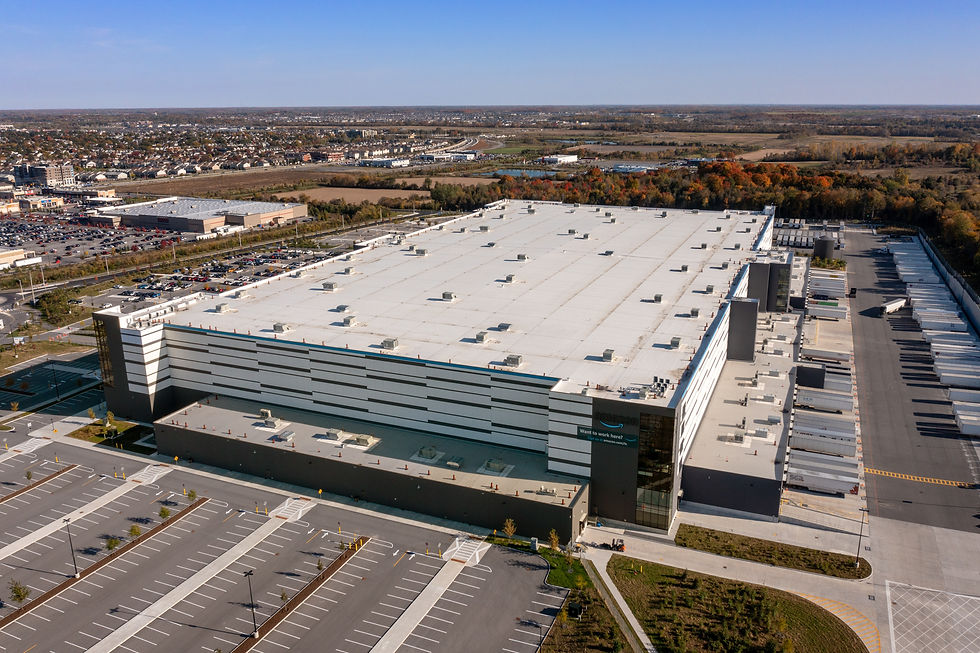
A customer owned a building with over a million square feet and multiple tenants. They had existing plans for individual suites, rent rolls, and what they thought was reliable square footage data. But the original full-building documentation dated back to the 1980s.
We came in to perform a full building scan and produce a graphic site plan. When we compared our LiDAR measurements to the square footage they had been using, the numbers didn't match. Some suites were off by as much as 10%.
That discrepancy had real consequences. They were potentially exposed to legal liability for charging tenants incorrect prices per square foot. On top of that, we identified approximately 20,000 square feet of undocumented space they hadn't been accounting for at all. Space they weren't charging for.
The total impact? A costly oversight that ran into the hundreds of thousands of dollars.
This is exactly why LiDAR doesn't lie. It doesn't estimate, it doesn't round, and it doesn't rely on a tape measure held by someone who was in a hurry. It captures what's actually there. Down to the millimeter.
If your building documentation is more than a few years old, or was never formally verified, you may be sitting on a similar problem without knowing it.


Comments