
Online Only Promotion - 5% off any services if you book through our website


3D Laser Scanning & As-Built Documentation Services in Dallas–Fort Worth
HosScans turns LiDAR scans into documentation your team can actually use — not raw point clouds with a shrug. Every project is field-verified for accuracy and delivered in the formats your workflow already runs on. Founded by a 14-year construction veteran, we understand the real cost of working from drawings that don't match the building. Here's how we help.
What's Included in LiDAR Scanning & Elevations
We'll scope every project to your specific needs. Here are the drawing types we typically deliver:
As-Built Documentation
Complete floor plans showing walls, doors, windows, columns, and major architectural features with accurate dimensions. Our dimensioned floor plans include room labels and square footage calculations, as well as all the other key measurements that your team needs, clearly showing how spaces function and flow.

DIM Plans & Elevations
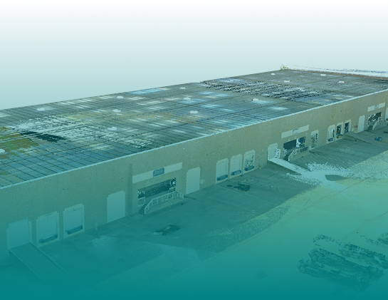
CAD-ready dimensioned floor plans, reflected ceiling plans, and interior/exterior elevations — extracted directly from point cloud data, not a tape measure. Delivered in layer-organized .DWG format, ready to import into AutoCAD or your design software. Built for architects, contractors, and CRE teams who can't afford guesswork.


Frequently Asked Questions
